Delivering accurate, reliable, and professional survey solutions to help you build, plan, and protect your property with confidence
RELOCATION SURVEY
Ensure your property boundaries are accurate and protected. Our relocation surveys re-establish lost or unclear property lines using verified records — giving you peace of mind and legal confidence.
ORIGINAL SURVEY / RE-SURVEY
We provide precise measurements and mapping for your property — whether it’s your first survey or a re-check of existing boundaries. Our surveys ensure your land records are accurate, updated, and ready for documentation or development.
VERIFICATION SURVEY
Confirm your property’s true boundaries with confidence. Our verification surveys check existing land measurements against official records to ensure your property lines are accurate and aligned with legal documents.
SUBDIVISION SURVEY
RESIDENTIAL SUBDIVISION SURVEY
AGRICULTURAL SUBDIVISION SURVEY
INSTITUTIONAL SUBDIVISION SURVEY
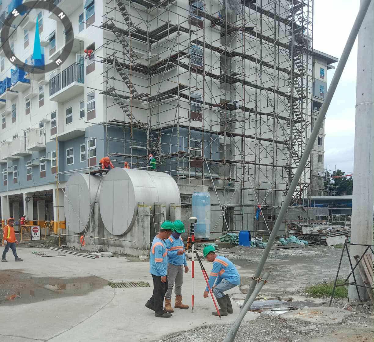
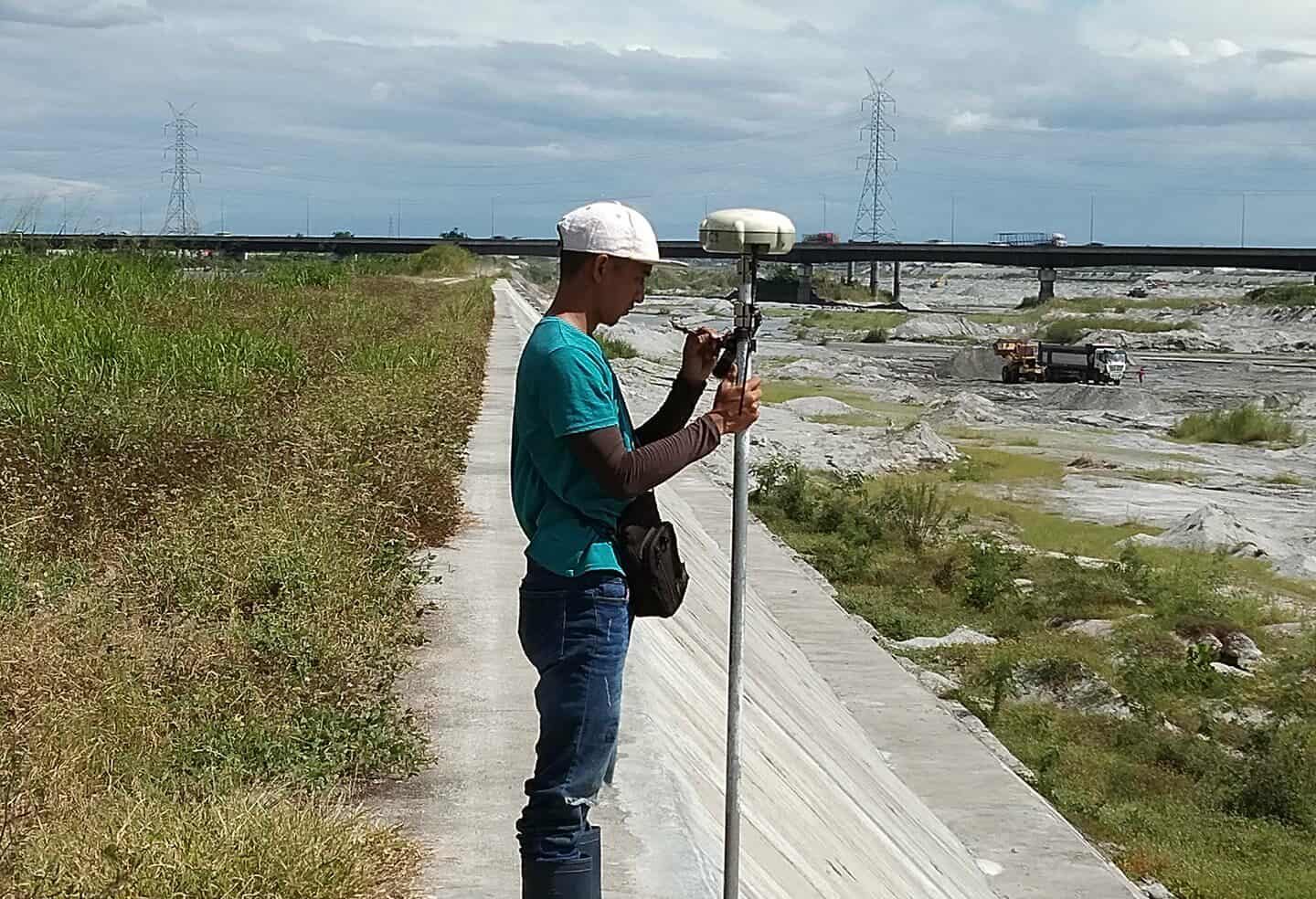
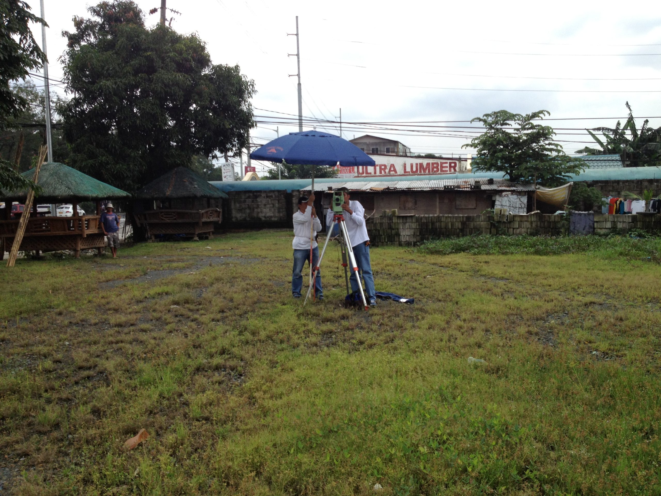
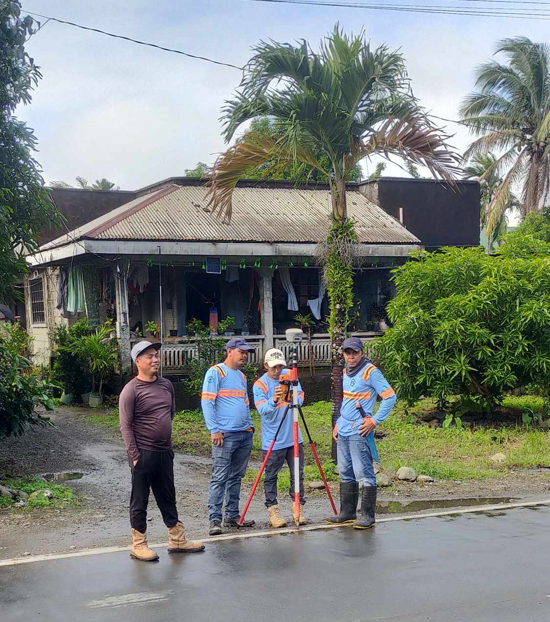
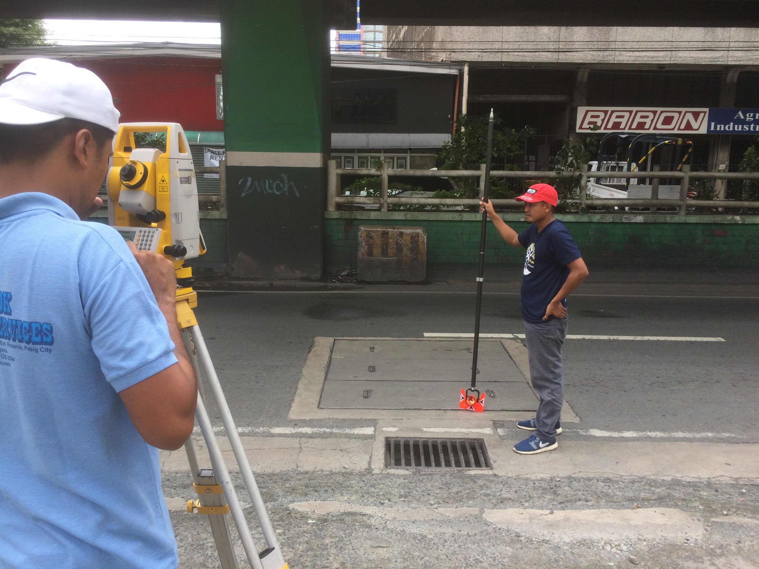
ENGINEERING SURVEY
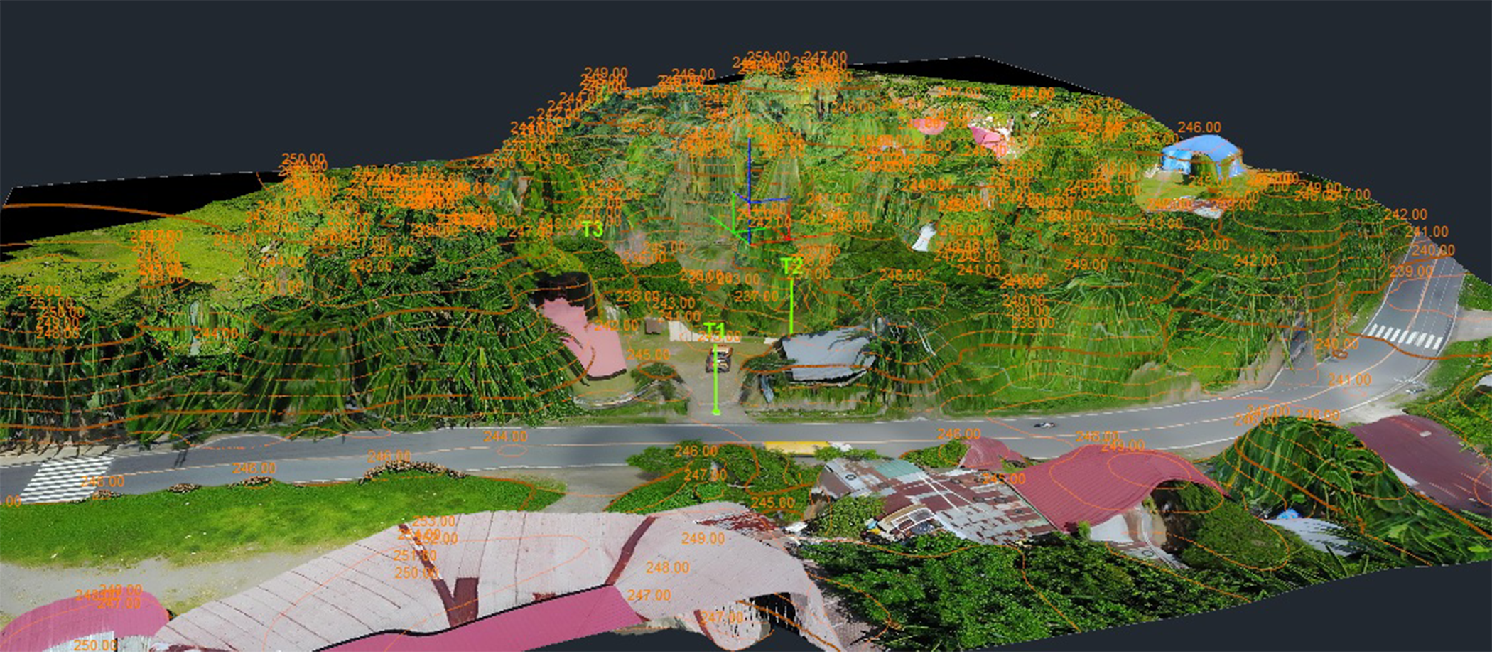
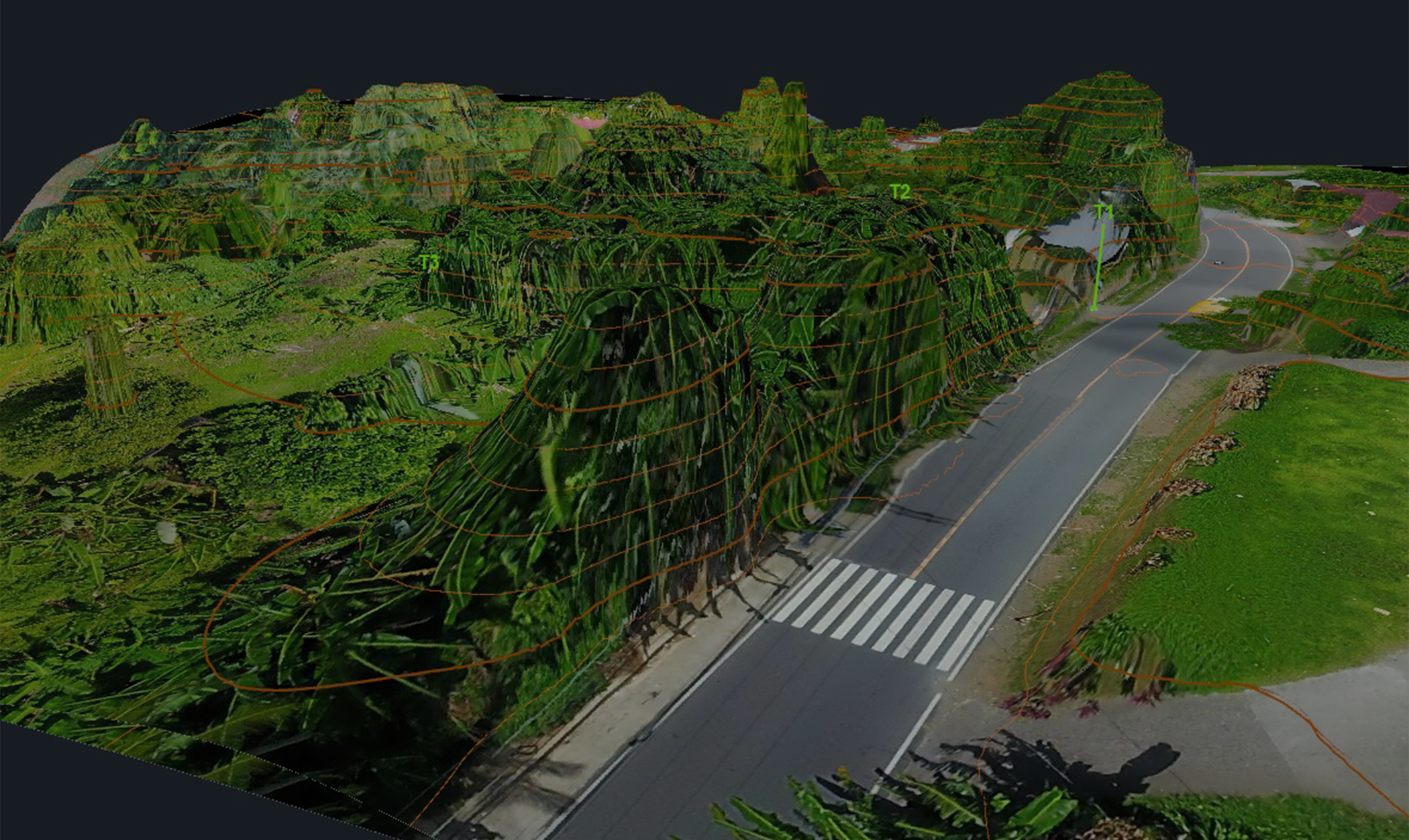
TOPOGRAPHIC SURVEY
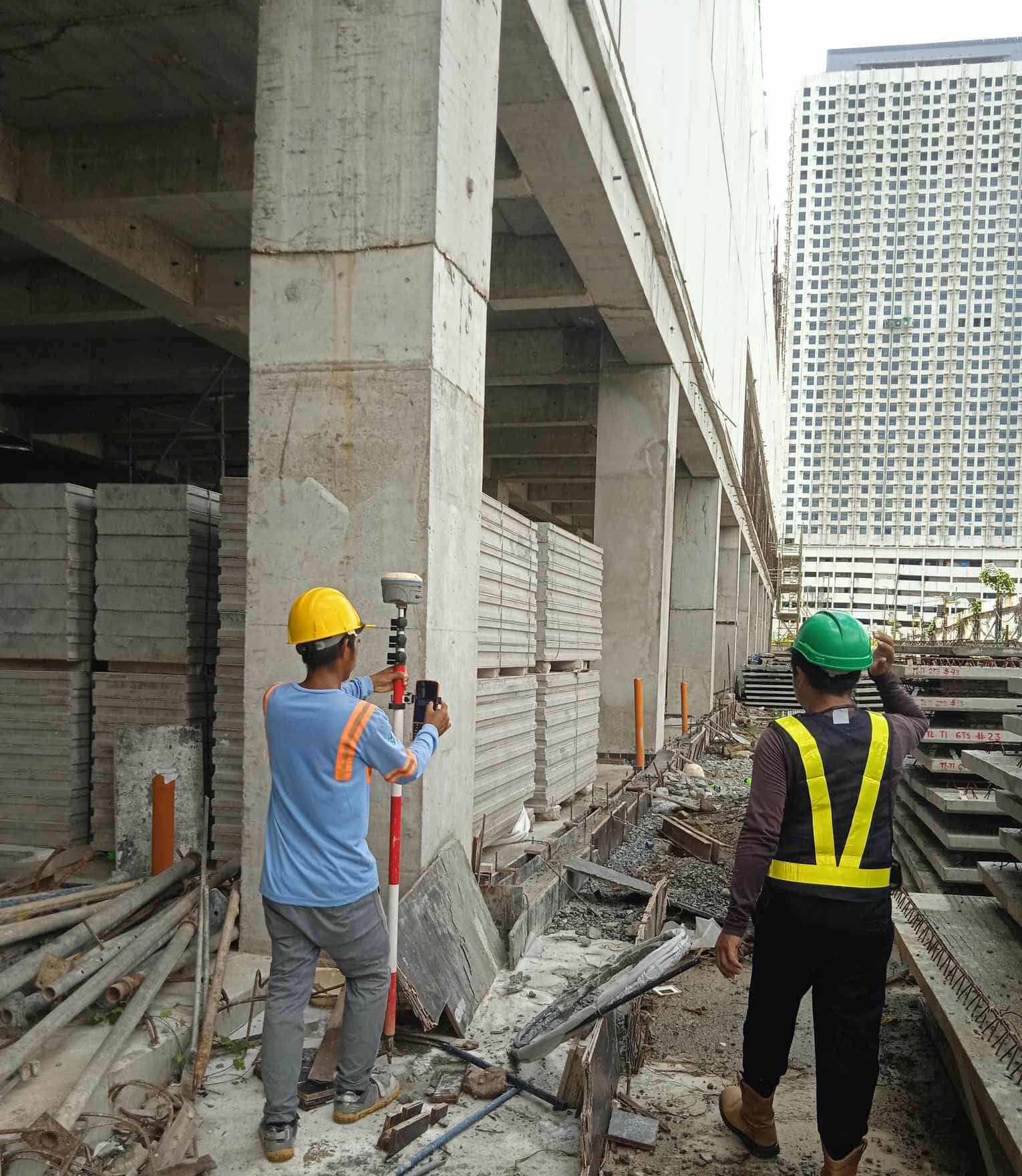
STRUCTURAL / FACILITIES / UTILITIES SURVEY
ROUTE SURVEY
HYDROGRAPHIC SURVEY
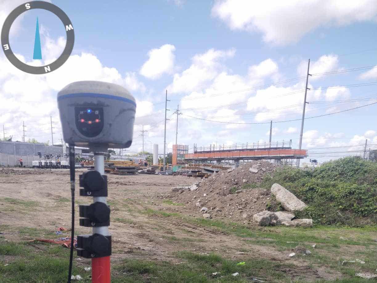
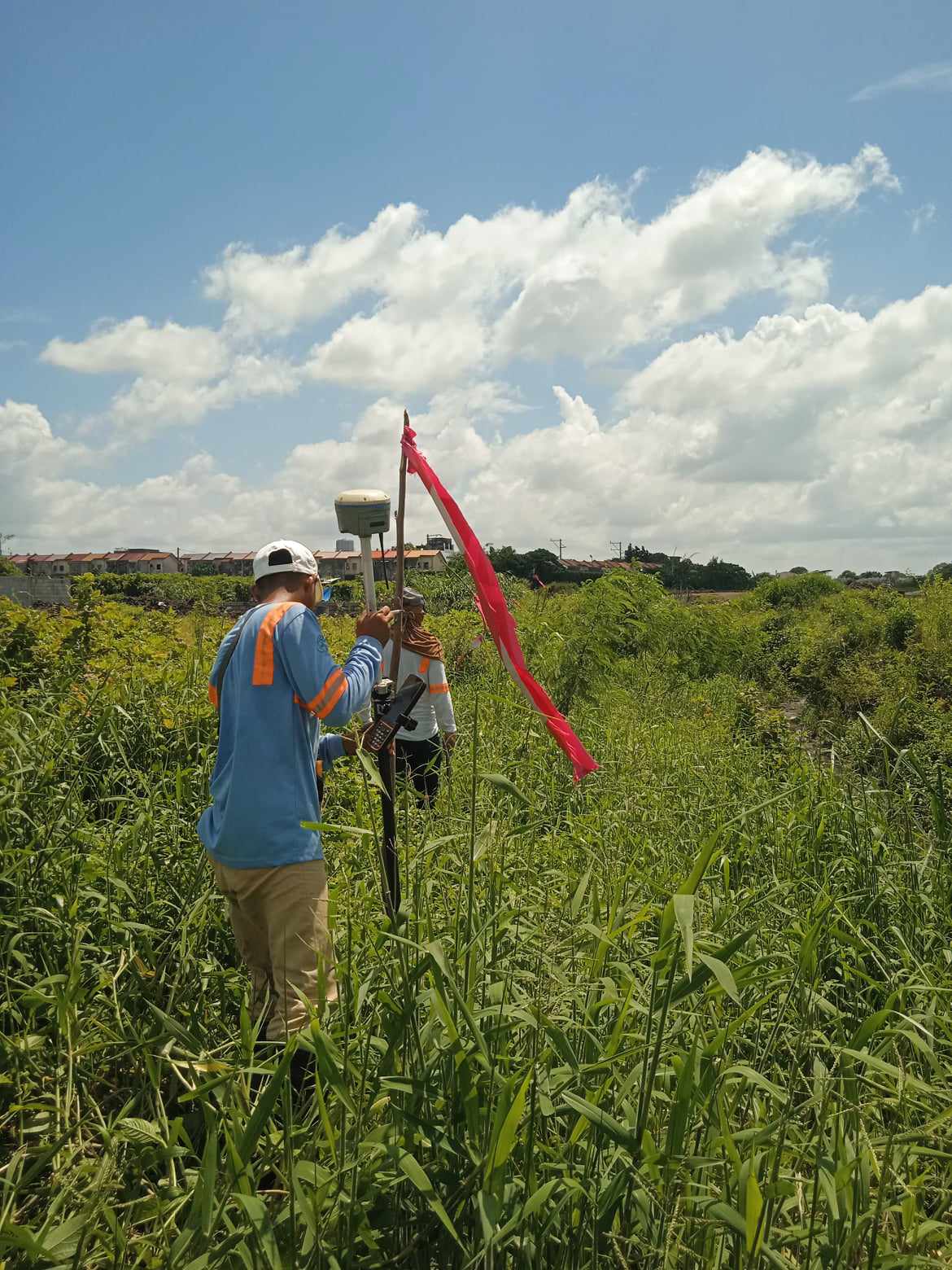
ESTABLISHMENT OF GEODETIC AND PROJECT CONTROL POINTS
VERTICAL CONTROL / DEFERENTIAL LEVELLING
MINERAL LAND SURVEY
Our Mineral Land Survey precisely identifies and maps land areas rich in mineral resources. It ensures your mining rights are clearly defined and properly documented, helping you secure ownership and comply with legal requirements.
MEMORIAL PARK SURVEY
Our Memorial Park Survey provides accurate measurements and mapping for cemetery or memorial park developments. It ensures every lot and pathway is properly laid out, well-planned, and compliant with all design and legal standards — giving you confidence in every detail of your project.
CONSULTING SERVICES
Our Consulting Services provide expert guidance on land and property matters. From legal or court-related concerns to professional advice and retainer services, we’re here to help you make confident and well-informed decisions for your projects.
PROPERTY REGISTRATION SERVICE
Get reliable assistance in preparing and verifying land survey documents for land titling or ownership transfer. This service ensures your property boundaries and technical descriptions are accurate and fully compliant with government standards, making the registration process smooth and worry-free.
CAAP CERTIFICATION
For projects near airports, CAAP Certification is required to secure height clearance and comply with Civil Aviation Authority of the Philippines (CAAP) regulations. This service provides the necessary survey certification to determine height limitations and ensure your structure meets all aviation safety requirements.
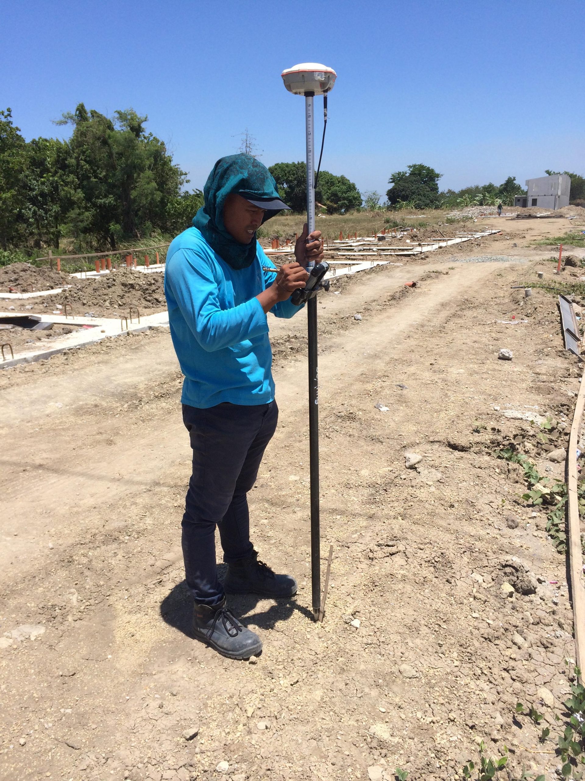
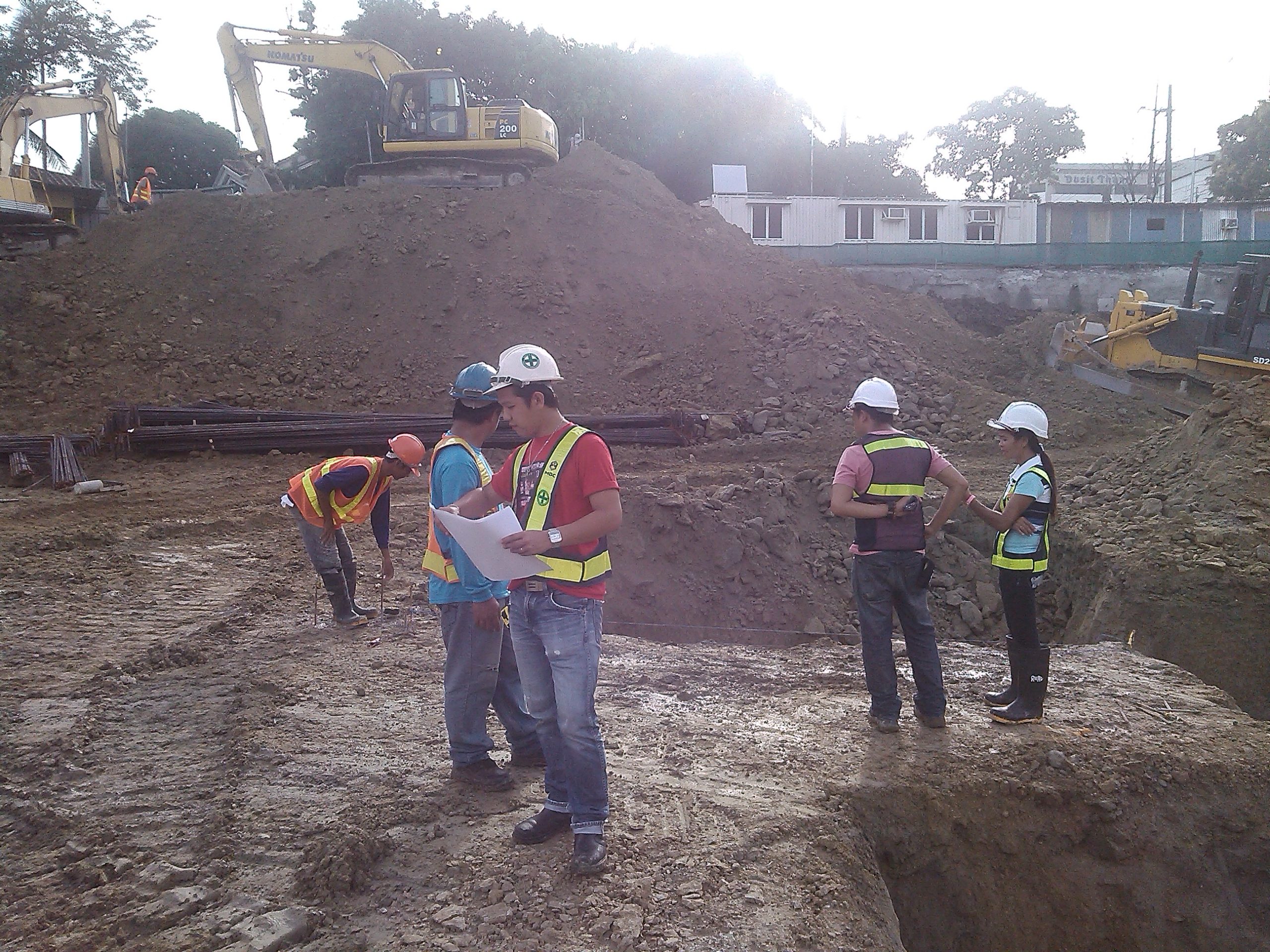
CONSTRUCTION SET-OUT SURVEY
Turn your plans into precise reality. Our Construction Set-Out Survey ensures every foundation, column, and structure is positioned exactly according to design. With accurate ground markings and expert coordination, we help builders achieve a smooth, error-free construction process from start to finish.
CARTOGRAPHY / MAPPING SERVICE
Bring your land data to life through detailed and accurate maps. Our Mapping Service transforms survey information into clear visual plans that highlight boundaries, features, and developments — perfect for project planning, documentation, and presentations that demand precision and clarity.
SIS AND IMPLEMENTATION SERVICES
Enhance the way you manage your land and project data. Our SIS and Implementation Services establish a reliable Survey Information System that organizes, stores, and analyzes survey data — improving efficiency, accuracy, and accessibility for smarter project management.
LEASE SURVEY
Make every lease clear and secure. This survey accurately measures and defines the exact area of land or property being leased, ensuring that boundaries are well-documented and legally protected for both owners and tenants.
PHOTOGRAMMETRY AND REMOTE SENSING SERVICES
Capture the bigger picture with precision. Using advanced drone, aerial, and satellite imagery, we provide accurate mapping and measurement of the Earth’s surface — delivering reliable data for land development, planning, and environmental analysis.
STRATA SUBDIVISION / CONDOMINIUM SURVEY
Ensure every unit and shared space is accurately defined. This survey maps and documents the boundaries, common areas, and divisions within multi-level buildings — providing the precision needed for proper ownership, titling, and condominium registration.
Ready to Get Started?
Whether you need a detailed land survey, property verification, or mapping solution, we’re here to deliver accurate and professional results.
Let’s work together to make your next project a success.